
Albany Neighbors Block Source Coverage
A block-level Albany search works best when each source is kept in its lane. MapGeo and the County viewer show parcel geography. PROS and the assessment roll add tax-record fields. The City Neighbor Kit adds civic context. Historic house and street guides can place earlier households on a numbered block. Election and association sources have defined purposes and cannot be treated as an open list of everyone nearby.
| Source | What It Shows About a Block | Access |
|---|---|---|
| City MapGeo | Subject parcel, adjoining polygons, assessment context, civic district information, and map themes | Public map; retain the data vintage and parcel identifier |
| Albany County interactive parcel viewer | Public tax-parcel geography and fields such as owner name, street address, acreage, values, and zoning descriptors | Public illustrative layer, not for resale |
| Albany County PROS | Current or prior owner search, street browsing, municipality, tax-map identifier, and property context | Public search; ownership is not proof of present residence |
| APL house and street directories | Past name and address entries for a specific edition, plus street, ward, and later ZIP context | Library collection and staff-supported access |
| New York election records | Defined registration or poll-site records when the official conditions and permitted purpose are met | Restricted by election-record rules and confidential-voter protections |
| City neighborhood resources | Neighborhood labels, civic contacts, and association links | Local context, not a member or residence roster |
Parcel ownership and occupancy must remain separate. A current owner may have a different mailing address from the parcel’s situs, meaning its property location, and a historic directory may lag the year of a move. For Albany neighbors, state the record role and date instead of inferring that a named person presently lives on the block.
New York’s election-record guidance permits defined public review, but Election Law §3-103(5) prohibits non-election use of voter data. The identifier-based voter service cannot be used to create a block roster, and confidential-voter records are not available for public inspection or copying.
Click Albany Parcel Edges
MapGeo accepts a property or address in its quick-search field and supports parcel-click browsing. Once the subject parcel is open, the immediately touching polygons form the most defensible starting radius. Record the parcel or SBL, the tax-map identifier, owner mailing address, property location, class or value, and the map date. Then click only the adjoining parcels. This avoids expanding an Albany neighbors question into an unsupported street-wide list.
The Albany County interactive parcel viewer provides a second parcel-map view.
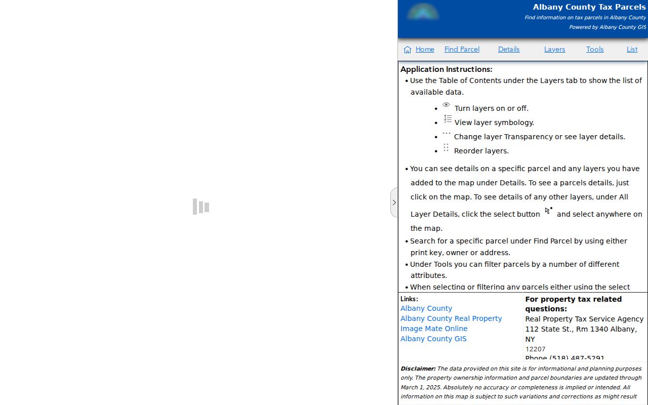
The County’s public layer exposes fields that include total and land value, owner name, street address, city and state, acreage, and zoning descriptors. The layer is illustrative, not a substitute for a dated assessment roll or a deed image.
Map an Albany Block to Parcels
The adjacent-parcel method ties a map shape to a record trail without claiming that every nearby name is a current resident. Start from a normalized address, preserve the city or town and ZIP, and carry the parcel identifier from one source to the next. A street suffix, neighboring municipality, or out-of-city mailing address can otherwise produce the wrong Albany match.
- Find the address in MapGeo or the County viewer. Save the subject parcel or SBL, situs, data date, and map source.
- Click each polygon that directly touches the subject parcel. Keep every adjoining parcel identifier separate rather than combining names into one record.
- Use PROS or the assessment roll to compare current owner, owner mailing address, property location, class, deed book or page, and assessment year.
- Where the block has a historic question, use a dated house or street directory, then compare its address with the parcel and map record.
- When the task becomes a full named-street trail, use the Albany Street Directory for its address-first workflow.
The City’s Neighbor Kit is a useful follow-up after the parcel is identified. It directs residents to Search Albany for the Neighborhood Specialist, council representative, fire district, census tract, assessed value, property details, and trash or recycling information.
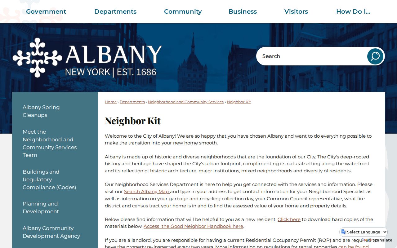
Those outputs describe civic geography. They help place a block in Albany’s service structure, but they do not prove that a named person lives at the address.
Albany Neighbors Parcel Fields
The 2025 City final assessment roll shows why record labels matter. Its visible fields include tax-map parcel number, current owner’s name, current owner’s address, property location and class, school district, parcel dimensions, deed book and page, parcel type, assessment values, exemptions, tax description, and account number. A parcel card can therefore connect a map polygon to a tax record without proving a full household.
| Current owner’s address | Mailing address for the tax-record owner. It can differ from the parcel location. |
|---|---|
| Property location and class | The situs and assessment classification. It is not a roster of occupants. |
| Tax map parcel number | The parcel identifier that helps distinguish similar street addresses and bridge search systems. |
| Deed book and page | A lead to the recorded instrument trail. Read the deed image and legal description before drawing an ownership conclusion. |
| Assessment and taxable values | Tax-roll figures that can differ by City, County, school, or special district and should be kept with their roll date. |
Albany’s owner mailing address and property location are separate fields in the roll. A corporation, estate, trust, or out-of-town owner can make the distinction especially important. Use a dated directory or another independent source before describing an owner as an occupant.
Albany Neighborhoods and Civic Context
Albany’s official neighborhood page identifies local labels such as Arbor Hill, Center Square, Helderberg, Hudson/Park, Mansion, Pine Hills, South End, and West Hill. These are useful context for a block, but they are not interchangeable with a ZIP, ward, census tract, or parcel municipality. The City page links the Council of Albany Neighborhood Associations and individual neighborhood organizations for meeting notices, local history, and civic contact.
Albany’s neighborhood page is the source shown in this image.
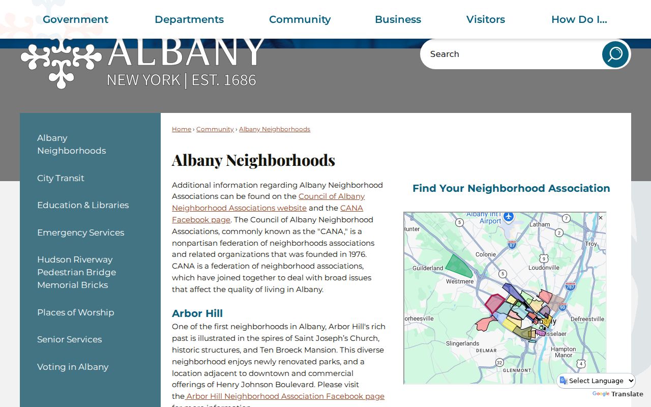
Association links are best used for neighborhood history and civic context. They should not be read as member directories or as proof of residence.
| Local civic resource | Documented role | Appropriate block use |
|---|---|---|
| Council of Albany Neighborhood Associations | Nonpartisan federation founded in 1976 and linked by the City | Citywide civic context and neighborhood contact route |
| Center Square, Buckingham Lake, Helderberg, Hudson/Park, Manning Boulevard, Mansion, Pine Hills, and South End associations | Direct association links listed by the City neighborhood resource | Meeting, history, and local issue context, not membership confirmation |
| MapGeo themes | Historic districts, zoning, green space, and neighborhood association context | Compare a parcel’s place-based context with the City neighborhood label |
North Albany’s Block Story
Albany’s official neighborhood description calls North Albany a historically Irish area known as “Limerick USA.” It notes an independent St. Patrick’s Day Parade and a late-1940s mix of industrial businesses and Hawkins Stadium. That history can help a reader recognize a neighborhood reference in a directory, newspaper, or map without turning local lore into a claim about a present household.
Albany’s honorary street-namings code supplies another address-reading caution.
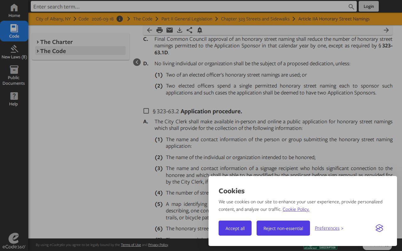
The City rule says an honorary name does not replace the official street name and does not require re-addressing. Search the official street name first, then treat an honorary sign as civic context rather than a replacement address.
Albany Neighbors Need Separate Geographies
A block may sit within several overlapping systems. Historic street guides list wards for 1897 through 1965, and ZIPs by street begin in 1967. MapGeo can show a parcel, council district, Police Neighborhood Engagement Officer, historic district, zoning, and neighborhood association layer. Postal ZIPs are delivery constructs, while parcel municipality identifies a local-government boundary.
This matters near the city edge. Albany’s research materials expressly note that parts of 12204 and 12205 sit outside City limits for some analyses, and County groupings can pair North Albany with Menands. Record the parcel municipality and the postal result separately. A nearby ZIP or neighborhood label should not decide whether a parcel is in the City of Albany.
Historic Albany Neighbors on Maps
For a past block, the Hall of Records and Albany Public Library provide a different route. APL house and street guides can move from address to name or from name to address for a defined edition. Sanborn maps, atlases, building permits, water rents, street-opening files, newspapers, and photographs add physical context. They do not replace a dated address record.
Albany Historic Preservation provides the local historic-district context captured here.
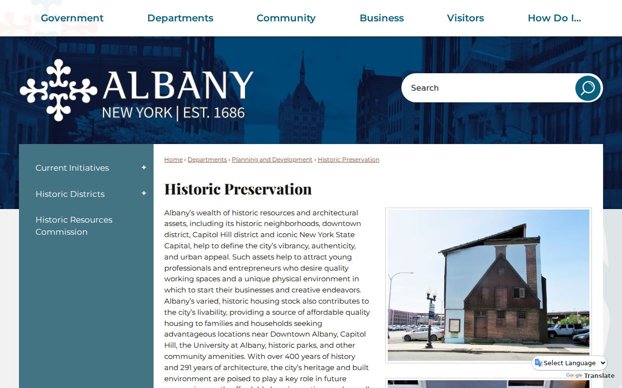
Albany has 16 local historic districts and four nationally recognized districts. A historic overlay may help locate a parcel or old photograph, but it does not identify everyone who was present there.
Albany Neighbor Sources Compared
Official sources identify the custodian, data role, and date. Commercial neighbor-lookup tools may combine older directories, marketing data, or uncertain matches, but they do not replace a parcel identifier, published edition, or official record. The safer comparison is between the category of source and the narrow question it can answer.
| Source category | Best use | Limit |
|---|---|---|
| Official parcel, roll, or deed record | Identify a tax-record owner, parcel, legal description, or recorded transaction | Does not establish every current occupant or household relationship |
| Official civic map and City resources | Place an address in a council, service, historic, zoning, or neighborhood context | Place-based fields are not personal-record fields |
| Historic library or archive collection | Document an address or household for a specific past edition or record year | Publication gaps, dated entries, and changing street names require careful reading |
| Commercial neighbor-lookup category | May offer a starting lead to check against a custodian record | Accuracy, currency, source method, and lawful-use limits may be unclear |
Preserve the official record’s source date and identifier. A result that cannot be tied to a custodian, time, and location should remain an unverified lead.
Privacy Limits for Albany Neighbors
Public parcel and directory records are not permission to publish private household details. New York’s Address Confidentiality Program gives eligible participants a substitute address while the actual residence remains confidential. Confidential-voter procedures also protect certain election records. Never reconstruct a protected location from old records, substitute addresses, map clues, or missing results.
Keep the minimum needed fields: record type, source date, municipality, parcel identifier, historic year, and a street without an apartment when that is enough. Omit current phone numbers, dates of birth, minor names, exact private addresses, protected-voter details, and sensitive status. The City or County custodian is the right route for corrections, restricted records, and requests beyond what a public screen provides.
Lawful use. Use Albany neighbor records for personal, lawful research and civic context. Never use a search result to stalk, harass, intimidate, or harm another person.